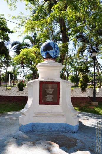
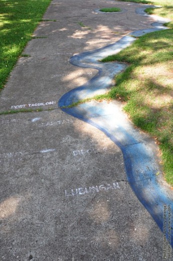
Dapitan City, the Shrine of the Philippines is famous for its history related to Jose Rizal’s (the Philippine National Hero) exile. One of Jose Rizal’s legacies is the Relief Map of Mindanao which he used as motivating device in teaching history and geography to the townsfolk.
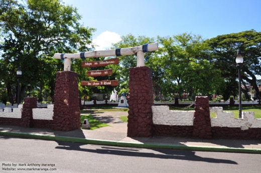
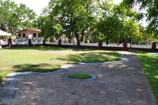
The Relief Map of Mindanao in Dapitan City, Philippines is situated across St. James Church. The area has been developed to have concrete walls and sturdy entrance pillars. The entrance door has a hanging hard-wood labeled “Mapa sa Mindanao Hinimo ni Dr. Jose P. Rizal” which means Map of Mindanao, made by Dr. Jose P. Rizal. The total land area of the Relief Map of Mindanao is about 900 square meters.
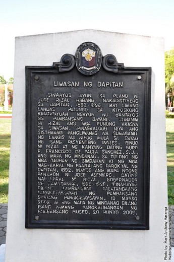
Together with Fr. Francisco de Paula Sanchez, S.J., Dr. Jose Rizal designed the Relief Map of Mindanao to be easily understood by the locals. If you’re from Mindanao and traveling to a lot of places, you will definitely say that the map Rizal made is no longer correct. There have been a lot of geographical changes, possibly due to climate which moved some of the land and possibly due to the government which added more towns in between existing towns.
This artistic manifestation of a well-lived exile was made by Dr. Jose P. Rizal in August 1892 based on the map done by Fr. Pedro Murillo Velarde, a French Jesuit in 1752. Fr. Francisco Paula de Sanchez S.J. was Rizal’s favorite teacher at the Ateneo de Manila where he studied in 1872-1877. Jose P. Rizal was exiled in Dapitan from July 17, 1892 to July 31, 1896.
The Relief Map of Mindanao was repaired in 1925-1928 during the time Jose Aseniero became Governor of Zamboanga, who is also a former student of Rizal. The Relief Map of Mindanao became a historical symbol in March 13, 2002 and became a cultural treasure of the Philippine Museum in June 20, 2005.
This page is last updated on
